May 6, 2026 – The following may be attributed to Randy Neumann, chair of the steering committee of the Scenic Loop-Helotes Creek Alliance:
The Scenic Loop-Helotes Creek Alliance expresses its deep gratitude to the five members of the San Antonio City Council who have signed a Council Consideration Request (CCR) calling for a comprehensive review of planning and development practices in Northwest San Antonio, including the environmentally sensitive Helotes Creek watershed.
Their leadership represents an important step toward safeguarding one of the region’s most critical natural resources.
Helotes Creek is a rare, spring‑fed tributary that flows directly across the Edwards Aquifer Recharge Zone. Its clear water, intact riparian habitat and rural Hill Country character make it essential to the long‑term health of the aquifer and the surrounding community. As development pressures intensify, the alliance believes that coordinated, science‑based planning is necessary to ensure that growth does not compromise water quality, public safety or ecological integrity.
The CCR demonstrates a meaningful commitment to responsible stewardship, and the alliance is encouraged to see city leaders taking decisive action. In response, the Scenic Loop-Helotes Creek Alliance outlines the following expectations for the city of San Antonio, Bexar County and the state of Texas:
- A unified, forward‑looking regional planning framework
The alliance urges all levels of government to collaborate on land‑use strategies that recognize the ecological limits of the Hill Country. This includes tools that prevent incompatible high‑density development in sensitive recharge areas and protect the rural character of Scenic Loop and the Helotes region. - Stronger, science‑driven protections for the Helotes Creek watershed
Updated watershed studies, enforceable environmental safeguards and development standards that reflect current hydrological science are essential. The alliance supports policies that preserve natural floodplains, maintain tree canopy and limit impervious cover to protect water quality. - Transparent decision‑making and meaningful public engagement
The alliance expects early public notice, accessible data and genuine opportunities for community input on zoning changes, infrastructure expansions and major development proposals. Residents deserve clarity and accountability in decisions that affect their water, land and safety. - Investment in conservation and permanent open‑space protection
The alliance encourages the expansion of conservation programs, including voluntary conservation easements and funding for the protection of recharge lands and riparian corridors. Long‑term water security depends on preserving these natural systems. - Infrastructure planning that aligns with environmental realities
Transportation, drainage and utility decisions must be evaluated for their long‑term ecological impact. Infrastructure should support sustainable growth patterns, reduce sprawl, and protect the watershed’s natural functions.
The Scenic Loop-Helotes Creek Alliance applauds the city council members who initiated the CCR and recognizes their action as a vital step toward responsible planning in northwest San Antonio. The alliance stands ready to collaborate with city, county and state leaders to ensure that the Helotes Creek watershed – and the communities that depend on it – remain protected for generations to come.
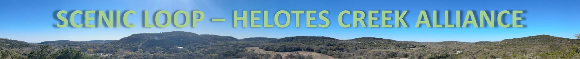
The Scenic Loop-Helotes Creek Alliance is a nonpartisan, nonprofit 501(c)(3) group representing the largest neighborhood by square mile recognized by the San Antonio Neighborhood & Housing Services Department, a wide corridor along Scenic Loop Road from Bandera Road to north of Babcock Road.
Scenic Loop-Helotes Creek Alliance contact:
Steve Lee, 210-415-2402, text; media@scenicloop.org